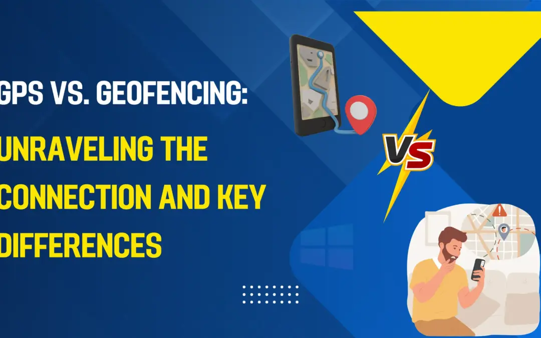
GPS vs. Geofencing: Key Differences
Ever gotten a coupon on your phone as you walk by a store or received an alert when your pet leaves the backyard? You have experienced the magic of location technology. But was that GPS or Geofencing? While these terms are often used together, they play very different roles.
Understanding the difference is key to grasping how our devices interact with the physical world. Let’s break it down in a simple, human-friendly way.
The Quick Answer: The Compass vs. The Fence
Think of it like this:
- GPS is your digital compass and map. It answers one question: “Where am I right now?” with precise coordinates.
- Geofencing is the virtual fence you draw on that map. It sets a rule: “Alert me when something enters or leaves this area.”
GPS provides the location data, and geofencing uses that data to trigger smart, automated actions. One is the foundation; the other is the application.
What is GPS? The Global Positioning System
GPS (Global Positioning System) is a satellite-based radio-navigation system. Funded by and owned by the U.S. government, it is a global utility providing precise location and timing information to users anywhere on Earth.
How GPS Works:
A constellation of 24 satellites orbits the Earth, continuously broadcasting signals. Your smartphone or navigation device contains a GPS receiver that listens for these signals. By calculating the tiny time differences in how long these signals take to arrive from multiple satellites, your device can triangulate its exact location (latitude, longitude, and altitude), often within a few meters.
The Primary Role of GPS: Pinpointing Location.
Its sole job is to provide answers to location-based questions:
- “What are my exact coordinates?”
- “How fast am I moving?”
- “What is the best route to my destination?”
Common Uses of GPS:
- Turn-by-turn navigation (Google Maps, Waze)
- Tracking fitness routes (running, cycling)
- Mapping and surveying land
- Locating lost devices
- Guiding autonomous vehicles and drones
What is Geofencing? The Virtual Boundary
Geofencing is a location-based service that creates a virtual geographic boundary, or a “geofence.” This fence can be drawn around any location on a map—a store, a neighborhood, a construction site, or even your own home.
How Geofencing Works:
Geofencing is a software-based process that relies on GPS (or other location services like Wi-Fi and cellular data) to work.
- Define the Fence: A boundary is set up around a specific point of interest with a defined radius (e.g., 300 feet around “Coffee Shop XYZ”).
- Set the Trigger: A rule is programmed (e.g., “When a device enters this area” or “When my dog’s tracker leaves this area”).
- Trigger the Action: When a GPS-enabled device crosses this virtual boundary, the software detects it and automatically triggers a response.
The Primary Role of Geofencing: Automating Actions Based on Location.
Its job is to act: “Because this device entered a specific area, now do this.”
Common Uses of Geofencing:
- Retail Marketing: Sending a promotional SMS or push notification to customers near a store.
- Smart Home Automation: Your smart thermostat adjusts to “Home” mode when your phone’s GPS detects you’re 5 minutes away.
- Safety & Security: Parents receive instant alerts if a child leaves a designated safe zone.
- Logistics & Fleet Management: Automatically logging when a truck arrives at a warehouse or if a valuable asset is moved without authorization.
- Workforce Management: Automatically clocking employees in and out when they arrive at or depart from a job site.
GPS vs. Geofencing: A Side-by-Side Comparison
|
Feature |
GPS |
Geofencing |
|
Core Function |
Location Determination |
Event-Based Triggering |
|
What it provides |
Raw coordinate data (latitude, longitude). |
An automated action or alert. |
|
How it works |
Triangulates signals from satellites. |
Uses GPS data to monitor a user-defined boundary. |
|
Nature |
Continuous & Active (always providing data) |
Passive & Reactive (sleeps until a boundary is crossed) |
|
Technology |
Hardware (a receiver chip in your device). |
Software (an application layer that uses location data). |
|
Dependency |
Can operate independently. |
Completely dependent on a location technology like GPS. |
How They Work Together: A Perfect Partnership
The relationship is not “GPS vs. Geofencing,” but rather “GPS + Geofencing.” They are two parts of a powerful system:
- The Sensor (GPS): Your phone’s GPS chip constantly checks your location, providing a stream of coordinate data.
- The Brain (Geofencing App): An app like Life360 or a retail marketing platform runs in the background. It takes your GPS coordinates and checks them against all the geofences it knows about.
- The Action: The moment your coordinates match the rule (“entered geofence”), the brain springs into action and sends a notification, turns on your lights, or triggers whatever was programmed.
Conclusion: Location vs. Action
In summary, the simplest way to distinguish them is
- GPS is about knowing where something is. It is the fundamental technology that provides the location data.
- Geofencing is about responding to where something is. It is a powerful software application that uses location data to automate tasks, enhance convenience, and improve efficiency in our daily lives.
Together, they form the invisible backbone of the context-aware, location-smart world we live in today.